top of page

SERVICES
Agam Advanced Agronomy has a proven capabilities to generate and analyse GIS data from any relevant imaging platform and method (satellite, plane, UAV, field sensors, scouting)
We offer our customers comprehensive services enabling them to focus on their agricultural applications, rather than on the data collection process.

Mapping
1. Fields and irrigation infrastructure mapping
2. Yield mapping
3. Management zones
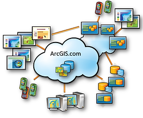
GIS and WebGIS
1. ESRI platforms.
2. ArcGIS on-line subscription accounts
3. Integration to other softwares and databases
4. Apps

Remote sensing
1. High frequency biomass and TIR maps
2. High resolution biomass maps
3. Very high resolution biomass and TIR maps
bottom of page